La Orotava covers an area that brings together many of Tenerife’s landscapes across a remarkable range of altitudes. From black-sand beaches exposed to the Atlantic, the municipality rises through banana plantations, historic houses, gardens and pine forests to the summit of Mount Teide.
The historic centre spreads across the valley’s slopes, with steep streets, colourful façades and wooden balconies overlooking courtyards. Higher up, beyond the last houses, the landscape changes quickly: farmland gives way to the forests of Aguamansa and the trails of the Corona Forestal.
La Orotava’s historic centre
La Orotava’s historic centre is built on a hillside and is best explored on foot, although its streets include steep climbs and stretches of stone paving. Leave your car in one of the car parks outside the historic quarter and wear comfortable shoes.
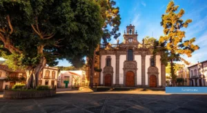
You can begin at Plaza de la Constitución, beside the Church of San Agustín and the Liceo de Taoro, before continuing to the Jardines Victoria. Arranged across several terraces, these gardens lead up to a viewpoint overlooking the town’s rooftops and the lower valley.
Walking downhill towards the town hall takes you through streets lined with grand houses, inner courtyards and wooden balconies. The best known is the Casa de los Balcones, a 17th-century building that now houses a private museum devoted to traditional Canarian domestic life and crafts. You do not need to visit the museum, however, to appreciate the surrounding architecture.
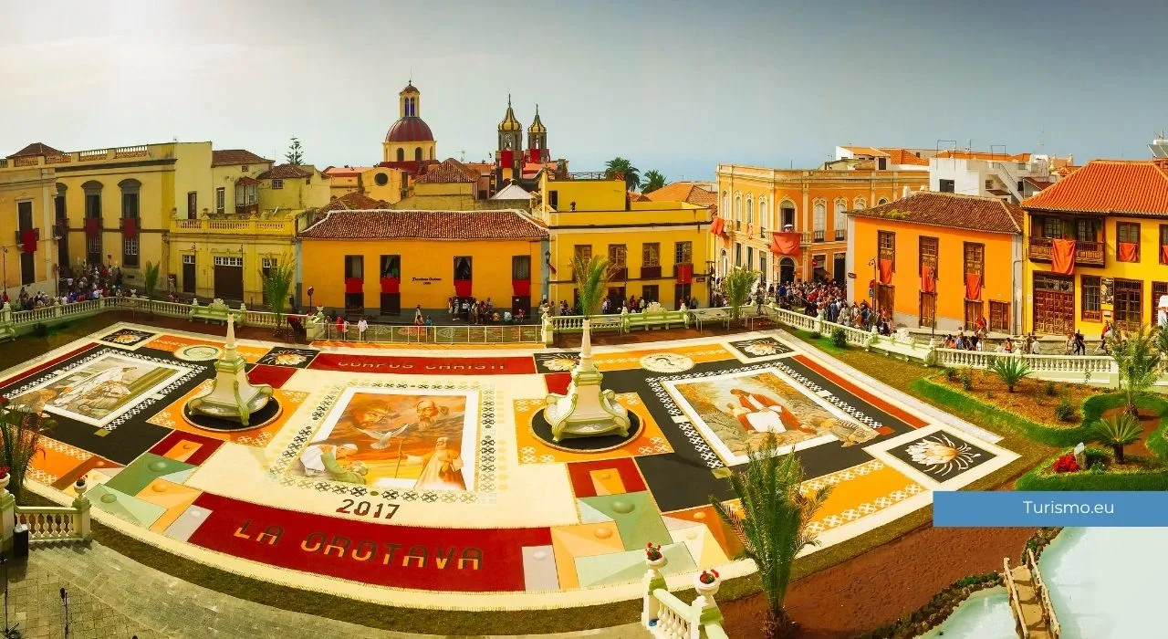
Plaza del Ayuntamiento takes on a distinctive appearance during Corpus Christi, when it is covered with a large decorative carpet made from volcanic sands and soils from the slopes of Mount Teide. During the same period, nearby streets are decorated with carpets of flowers and plant materials.
The old watermill route
The town’s steep terrain and water from the Aguamansa springs once supported thirteen watermills. Along the old route, you can still recognise parts of the structures used to channel water and grind grain.
Some mills have disappeared or been converted, but the route preserves the connection between the town and the resources of the upper valley. It is one of La Orotava’s most interesting features, revealing the everyday activities that sustained its economy beyond its grand houses and churches.
Mirador de Humboldt: a view across the valley
The Mirador de Humboldt stands beside the TF-21, outside the historic centre. It is dedicated to the naturalist and traveller Alexander von Humboldt, who visited Tenerife in 1799 and described the valley in his travel accounts.
The viewpoint overlooks La Orotava, Puerto de la Cruz, farmland and the northern coast. On clear days, the panorama helps you understand the valley’s layout; when low clouds settle in, visibility can be severely reduced.
You can stop here before or after visiting the town centre. A visit does not take long, but it is worth checking visibility before making a special trip.
El Bollullo and La Orotava’s coast
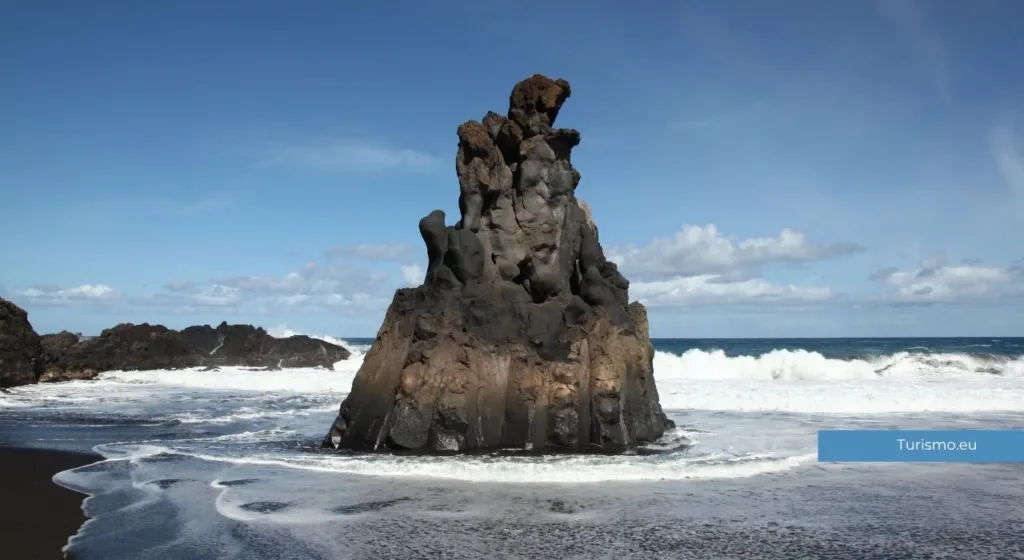
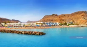
El Bollullo is a natural black volcanic sand beach in the El Rincón area, between La Orotava and Puerto de la Cruz. Surrounded by cliffs and banana plantations, it has a less urban setting than the more central beaches.
The final stretch of the access road is narrow, and parking is limited. Alternatively, you can walk to the beach along the paths through El Rincón. Before setting out, check road conditions and parking availability.
A flight of steps leads down to the sand. The beach is therefore unsuitable for people with reduced mobility and awkward to reach with pushchairs or bulky beach equipment.
The sea along Tenerife’s northern coast can be rough, with strong currents. El Bollullo should never be assumed safe for swimming: observe the beach flag, follow lifeguards’ instructions when they are present, and stay out of the water in unfavourable conditions.
Further along the coast lie Playa de Los Patos and El Ancón. Access routes may be closed or altered, so do not assume they will be open. Check current conditions with local sources before visiting.
Aguamansa and La Caldera recreation area
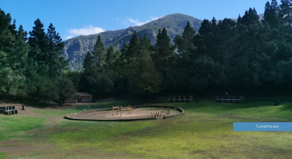
Continuing uphill along the TF-21 brings you to Aguamansa, a small settlement surrounded by the forests of the Corona Forestal. Just beyond the village, at around 1,000 metres above sea level, La Caldera recreation area is one of the main starting points for trails through the upper La Orotava Valley.
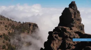
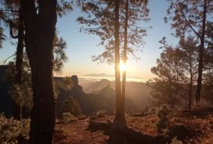
The landscape is very different from the historic centre and the coast. Canary Island pines dominate the vegetation. In damper areas, ferns, heathers and other plants thrive under the influence of the trade winds. When clouds settle on the slopes, mist can envelop the forest even while the coast remains sunny.
La Caldera has parking, picnic tables, barbecues, toilets without showers, a children’s play area and a bar-restaurant. There is also a camping area, which requires the relevant permits. At weekends and on public holidays, the area can be busy with island residents, especially around lunchtime.
Walking trails from La Caldera
The easiest option for exploring the forest is PR-TF 35 La Caldera–Mamio–La Caldera, a 5.7-kilometre circular walk starting and finishing at the recreation area’s car park. Allow around two and a half hours, with relatively modest elevation changes.
The first section follows the Mamio forest track, which is wide and has gentle gradients. After reaching the Casa del Agua, the route descends towards Mamio through a landscape where woodland gives way to farms and cultivated plots. It then climbs beside the Barranco de Los Llanos ravine, passes near the Aguamansa environmental centre and re-enters the pine forest before returning to La Caldera.
For a longer walk, PR-TF 35.1 branches off at the Casa del Agua and descends towards Pinolere. This route runs for 4.2 kilometres from the junction, but it is not circular and involves a substantial descent. You will need to arrange transport back or allow for the additional walk to return to La Caldera.
Another option is the Ruta del Agua, reached after following the Mamio forest track for approximately two kilometres. The trail itself is 1.9 kilometres long but is rated moderately difficult because of narrow sections and steep gradients. It passes historic structures used to collect and distribute water, including an aqueduct dating from 1863, and reaches the Casa del Agua.
Some forest tracks are shared with cyclists and horse riders. Although pedestrians have priority, take care where the routes overlap.
Temperatures can be considerably lower than on the coast, and damp conditions make the ground slippery. Even on a warm day, bring a jacket, water and suitable walking shoes. Before setting out, check trail conditions and any temporary closures caused by maintenance, fires or weather.
What to see in La Orotava in one day
With just one day available, it is best to choose between the coast and the upper valley.
A balanced itinerary could begin in the historic centre in the morning, followed after lunch by the Mirador de Humboldt and El Bollullo. This works well on days when the sea is relatively calm and visibility across the valley is good.
Alternatively, head uphill towards Aguamansa. This is the better choice if you would rather explore the forest landscape than spend the afternoon on the coast.
Two days in La Orotava and the surrounding area
With two days, you can divide your visit between the lower and higher parts of the municipality:
Day one: the historic centre, Mirador de Humboldt and El Bollullo.
Day two: Aguamansa and La Caldera recreation area, choosing a walking trail according to its difficulty and the time available.
To adapt your stops to the weather and where you are staying, you can also create a map of your itinerary and spread your visits across different days.
When to visit La Orotava
La Orotava can be visited throughout the year. Northern Tenerife is generally wetter and cloudier than the southern coast, particularly in winter and spring.
Clouds need not prevent you from exploring the historic centre, but they can obscure the view from the Mirador de Humboldt. At El Bollullo, sea conditions and currents matter more, while visits to Aguamansa and La Caldera require planning for lower temperatures and possible rain.
One of the most interesting times to visit is during Corpus Christi, when the floral and volcanic sand carpets are created. It is also one of the busiest periods, so parking and transport require more planning.