

Elba combines very different coastlines, seaside towns, wooded mountains and a past shaped by mining and Napoleon’s exile.
It is the largest island in the Tuscan Archipelago and cannot be treated simply as a beach destination. Its roads follow the coast and cross headlands, forests and small villages. Within a few kilometres, the landscape can change completely: from the white pebble beaches near Portoferraio to the sandy bays of the southern coast and the granite cliffs of the west.
To explore the island without spending too much time driving, it is worth choosing where to stay carefully and allowing at least a few days for the journey.
Portoferraio and the northern coast
Portoferraio is the main arrival point and the largest town on Elba. It extends around the harbour, overlooked by the fortifications built in the 16th century under Cosimo I de’ Medici.
The historic area occupies the headland above the port. Steps, passageways and steep streets lead towards Forte Falcone, Forte Stella and several viewpoints overlooking the sea.
Portoferraio is also closely connected with Napoleon, who lived on Elba between 1814 and 1815. The Palazzina dei Mulini, in the upper part of the town, was his official residence, while Villa San Martino, further inland, was intended for his private life.
A visit does not need to focus entirely on the Napoleonic sites. The harbour, fortifications and coastal views also reveal the town’s strategic position and long relationship with the sea.
The white beaches near Portoferraio
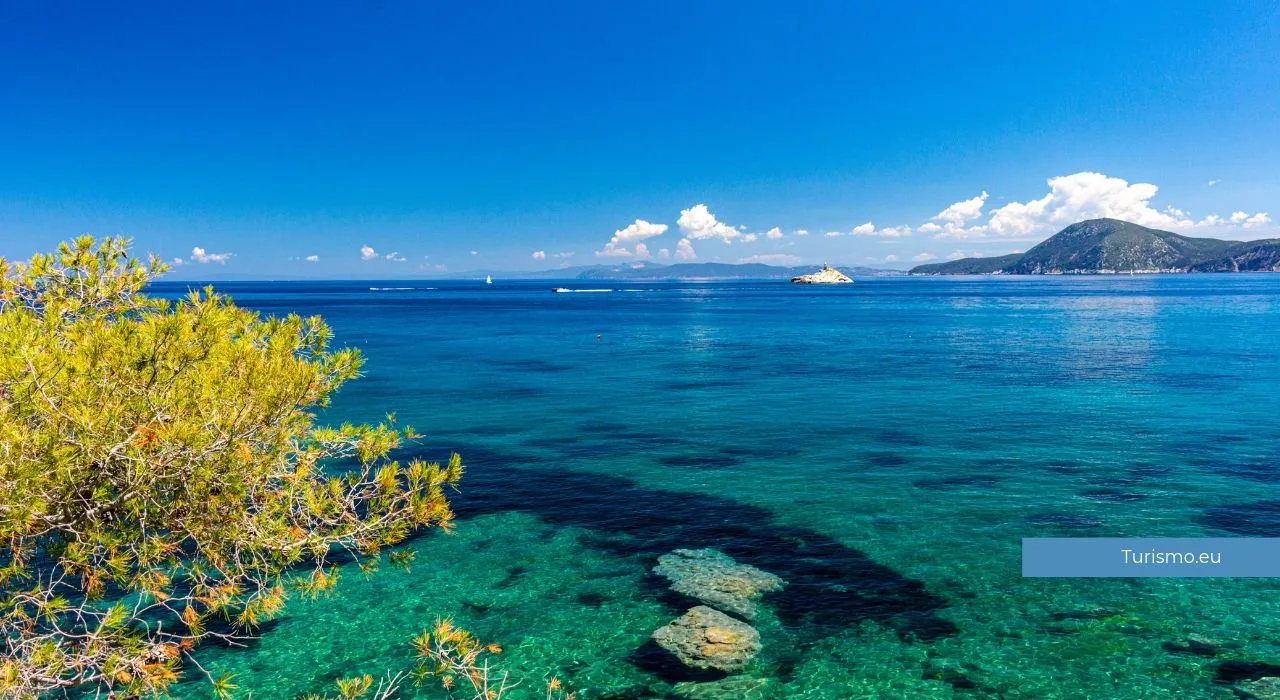
West of the town are some of Elba’s most recognisable beaches. Le Ghiaie, Padulella, Capo Bianco and Sansone are known for their pale pebbles and water that takes on vivid turquoise tones in bright weather.
Le Ghiaie is close to the centre and easy to reach. Capo Bianco and Sansone have a more natural setting but require visitors to negotiate steps or short paths.
The pebbles can make walking and entering the water less comfortable, so suitable footwear is useful, particularly when moving between the beach and the rocks.
Marciana Marina and western Elba
Marciana Marina is one of the most pleasant towns on the northern coast. Its seafront, small harbour and houses gathered beneath the mountains form a compact centre that is also suitable for an evening walk.
Behind the town begins the island’s most mountainous area. The landscape changes on the road towards Marciana, as the coast gives way to woodland, steep slopes and villages built at higher elevations.
Marciana retains a medieval layout of narrow streets, passageways and steps. Its location provides views over the northern coast and access to trails leading towards Monte Capanne.
Monte Capanne
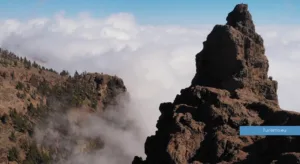
At 1,019 metres, Monte Capanne is the highest point on Elba. It dominates the western part of the island and offers a landscape very different from the coast.
The summit can be reached on walking trails beginning near Marciana or by using the cableway when it is operating. Opening dates, timetables and conditions should be checked before setting out.
The walking routes require suitable footwear, enough water and a realistic assessment of the elevation gain. In summer, it is advisable to start early and avoid the hottest part of the day.
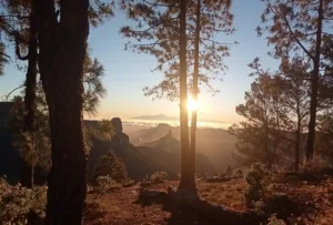
In clear weather, the upper slopes provide views across much of Elba, the Tuscan coast and other islands in the archipelago. Visibility, however, depends on wind, humidity and general weather conditions.
The western coastal route
The road following the western coast connects Marciana Marina with Marina di Campo through a succession of villages, headlands and bays.
Sant’Andrea is known for its smooth granite rocks and small beach surrounded by vegetation. Further south are Chiessi and Pomonte, two compact coastal villages at the foot of the mountains.
Just offshore from Pomonte lies the wreck of the Elviscot, which sank close to the coast in the 1970s. Its shallow position means that it can be seen while snorkelling, but the swim should only be attempted in calm conditions and by people with suitable experience.
Continuing south leads to the beaches of Fetovaia, Seccheto and Cavoli. This stretch of coast alternates sheltered coves, granite rocks and generally clear water.
The road is highly scenic but has numerous bends. Although the distances are relatively short, it is better not to plan too many stops on the same day.
Marina di Campo and the southern beaches
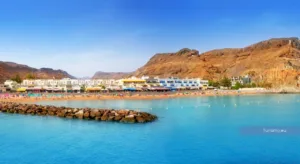
Marina di Campo overlooks one of the longest sandy beaches on the island. The seabed slopes gradually, while the town and its surroundings provide a wide selection of accommodation, restaurants and services.
These features make it a practical base for families and for travellers who want to combine time on the beach with trips around western Elba.
East of Marina di Campo are other sandy beaches, including Lacona and Laconella. Lacona is broad and well equipped, while Laconella is smaller and has a less developed setting.
The southern coast is generally more exposed than the sheltered bays of the north. The forecast wind direction should therefore be considered when choosing a beach for the day.
Capoliveri and Monte Calamita
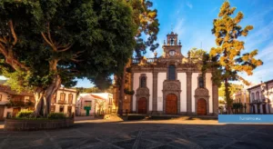
Capoliveri stands on a hill in the south-eastern part of the island. Its centre consists of narrow streets, steps, small squares and viewpoints overlooking the sea.
It is one of Elba’s busiest places on summer evenings, when restaurants and shops bring activity to the centre. Its elevated position, however, means steep streets and limited parking near the historic area.
South of the town lies the Monte Calamita headland, shaped by the mining industry that influenced eastern Elba’s economy for centuries. Tracks and trails cross a landscape where Mediterranean vegetation alternates with mineral-rich rock.
Some areas may belong to mining concessions or be subject to access restrictions. Current conditions should therefore be checked before following routes across the headland.
Beaches around Capoliveri include Barabarca, Zuccale, Madonna delle Grazie, Morcone, Pareti and Innamorata. They vary in size and accessibility and are often reached by descending roads with relatively small parking areas.
Porto Azzurro
Porto Azzurro extends around a sheltered bay on the eastern coast. Its waterfront, marina and central square make it suitable for an evening visit or as a base for exploring this side of the island.
Above the town stands Forte San Giacomo, which is still used as a prison and is not normally open to visitors. Its presence reflects the strategic importance of this stretch of coast during the period of Spanish rule.
Small beaches and coastal walks can be reached nearby. Porto Azzurro is also conveniently located for travelling to Capoliveri, Rio and the former mining areas.
Rio and the mining landscape
Eastern Elba has a different appearance from the granite coast in the west. The colours of the rocks and soil reveal the iron minerals that have been extracted here since ancient times.
Rio Marina still contains clear traces of this industry. Former mining sites occupy part of the coast and can be explored on organised visits and excursions.
This is more than an example of industrial archaeology. Mining altered the profile of the hills and created red, black and yellow surfaces that distinguish the eastern side of Elba from the rest of the island.
Further north, Cavo faces the stretch of sea closest to the Tuscan mainland. It is a quieter seaside resort than Elba’s principal towns and has seasonal ferry connections.
Which beaches to choose
Elba does not have a single type of coastline. The best beach depends on the area, the wind and the kind of seabed preferred.
For pale pebbles and transparent water, Capo Bianco, Sansone and the beaches near Portoferraio are good options.
Marina di Campo, Lacona and some of the southern bays are more suitable for those looking for sand and gradually sloping seabeds.
Fetovaia, Cavoli and Seccheto combine compact beaches with granite rocks, although they become very busy during summer.
The coves around Capoliveri offer a range of settings, often with limited space and steep access roads.
It is useful to check the wind direction before leaving. When one coast is exposed and the sea is rough, conditions on the opposite side of the island may be considerably calmer.
Where to stay on Elba
Portoferraio is centrally located and convenient for visitors arriving by ferry and planning to explore several parts of the island. It has a wide range of services and transport connections, although traffic around the port can be heavy.
Marina di Campo suits travellers looking for a long sandy beach, nearby services and easy access to western Elba.
Capoliveri combines a hill town with the bays of the south-eastern coast. Visitors should, however, consider the gradients and the need to travel from the town to the beaches.
Porto Azzurro is suitable for those who want to stay near the harbour and go out on foot in the evening, while Marciana Marina provides a good base for exploring the northern coast and the mountainous interior.
The best location therefore depends on the priorities of the trip. Travellers planning to explore the whole island could also divide their stay between the western and eastern sides.
Getting around Elba
A car is the most practical way to reach beaches, villages and walking trailheads. The principal roads are paved but are often narrow and winding.
Traffic increases in summer, and car parks near popular beaches can fill early in the morning. Setting out early helps to avoid some of these difficulties.
Buses connect the main towns, but their routes and frequency do not always make it easy to reach isolated coves. Bicycles and scooters can be useful for certain journeys, although the heat, steep gradients and traffic should be considered.
How to reach Elba
Ferries to Elba depart mainly from Piombino and travel to Portoferraio, Rio Marina and Cavo. Routes and frequencies vary according to the season.
Portoferraio receives the largest number of services. Passengers travelling with a car should book ahead during summer and arrive at the port within the time specified by the ferry company.
Taking a vehicle is useful for an island-wide journey. Visitors staying in one town and planning to spend most of their time on nearby beaches could travel without a car, but should check local transport options before booking.
When to visit
June and September often offer a good balance of warm weather, open services and visitor numbers. The sea is generally warmer in September, while June brings long days and greener vegetation.
July and August are the busiest months. Beaches, roads and car parks can become crowded, particularly around the best-known resorts.
Spring and autumn are suitable for walking and visiting the villages, but the weather can be changeable and some coastal services operate on reduced schedules.
How long to spend on Elba
A weekend provides enough time to visit Portoferraio and one section of the coast, but not to appreciate the full variety of the island.
Four or five days allow time for beaches, villages and an excursion into the mountains. A week makes it possible to explore both the western and eastern coasts without fitting too many places into each day.
Elba appears small on a map, but its winding coastal roads and numerous possible stops increase real travel times. Organising the journey by area is the best way to explore the island without turning every day into a long drive.